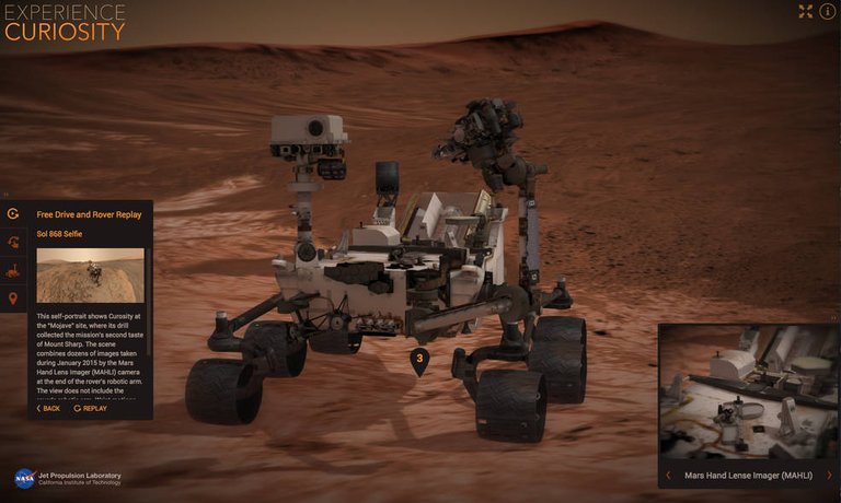
New online tool, Mars Trek, brings the planet to a new generation
Aug. 5, 2015

Mars Trek provides high-quality, detailed visualizations of the planet using real data from 50 years of NASA exploration.
Data gathered from multiple instruments aboard multiple NASA Mars missions provide diverse views for Mars Trek’s user-friendly set of tools including interactive maps, 3-D printer-exportable topography, and standard keyboard gaming controls for flying high or low above Mars’ surface.
Mars Trek is already being used by a NASA team to aid in the selection of possible landing sites for the agency’s Mars 2020 rover, and the application will be used as part of NASA’s newly-announced process to examine and select candidate sites for the first human exploration mission to Mars in the 2030s.
See more from the NASA press release at Journey to Mars.